Posts

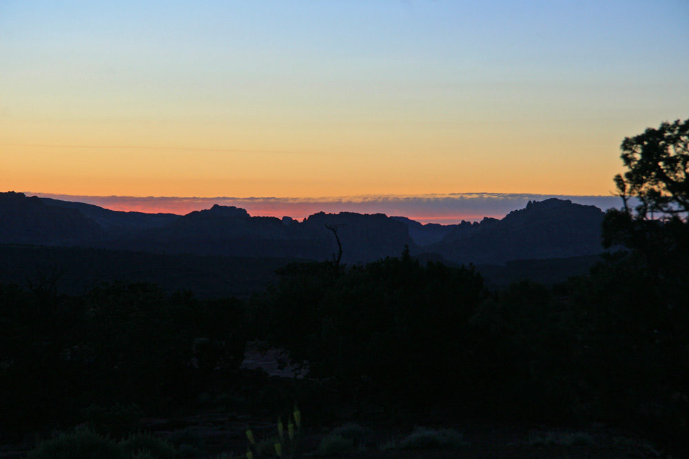
Sunrise on Beas Lewis
Image
It's pretty close to the solstice so when we woke up early it seemed like an appropriate time to go out for some sunrise pictures, not that I really think there is an appropriate time for such foolishness, the sun is supposed to be up before me! We decided to stay close and go up on the Beas Lewis Road just east of Torrey. It was a little chilly up there, about 45F with a breeze and the sun seemed to take a long time to come up. Eventually the first rays struck the top of the Anthill Then the Cockscomb lit up - it's made of white rock but glows red in the earliest sunlight And finally the sun poked up over the horizon Next the cliffs below Thousand Lake Mountain started to be illuminated along with the Prince's Plume which was abundant. Shortly after sunrise I managed to capture a ghost rushing to get back to it's daytime home This old tree has seen a few sunrises I could hear the smell of bacon and eggs so one last look and back to the house... Share

Miner's Mountain

Image
Janet had mentioned the Bees-Lewis Road just outside Torrey to the east a couple of times recently so it was time to go explore, we loaded up the Tundra with Whip, Louise, Eddd, Janet and I and headed out for a quick drive. I had been down the road once before but it seemed to end at a gate to a quarry, updated information told us that there was more to be found and after a quick tour around the quarry we took the right fork just after the gate. We immediately climbed onto a ridge overlooking highway 12 with spectacular views of Thousand Lake Mountain across the Torrey cliffs to the north, the Fremont Valley to the west and Boulder Mountain to the south. Thousand Lake Mountain over the Torrey Cliffs. Highway 12 Headed Up Towards Boulder Mountain Boulder Mountain and the Cockscomb (or Stegosaurus) From here the road turned towards Capitol Reef and climbed over the top of Miner's Mountain so that we could see the cliffs of Capitol Reef next to highway 24. Chimney Rock Bould...

Exploring Sinbad Country

Image
Having beaten up my knee I decided that I still needed to get out into the country while the weather was good so it was time for a truck trip. When I first started coming to Utah in the early 90s I used to go to the San Rafael Swell but I hadn't been back there since I moved here so it was time to put that right. This particular area of the swell is known as Sinbad Country because the rock formations look like those described in the Arabian stories. My off road ride started in Temple Wash where I found this strange balanced rock on top of a spire. As I went on I found all sorts of interesting rock formations - this is Dutchman Arch The rest of the story is on my main blog

Ride n' Hike to Mount Ellen

Image
I can see the Henry Mountains from my front yard but in the three years I'd lived here I hadn't made my way over there. They seem so remote and barren and most people that write about them use the word 'inaccessible'. Nonetheless there are several interesting facts about them, geologically they are a mammoform laccolith which is a feature where volcanoes have pushed lava up under them but not broken through the overlying sedimentary layers. The Henry Mountains were in fact the first range to be called a laccolith and are mentioned in every basic university geology book. They are also home to the largest free roaming herd of buffalo in the US, they were introduced in the mid 20th century and now number around 200. They range over a huge area on the mountain range and the surrounding deserts and have no restrictions, unfortunately they were nowhere to be seen on this day. The mountains are named after the secretary of the Smithsonian who helped Powell finance his expediti...

Grand Junction, Moab and Blanding Loop

Image
I needed a few things from the BMW dealer in Grand Junction which at 200 miles is equal closest to me with Salt Lake, but a better ride. I headed out over Sweeper Madness (UT72) to I70 which is really nice ride until Green River but then becomes desert and therefore hot. After taking care of business in Grand Junction I came back on UT128 which follows the Colorado River down to Moab. On the way I found Utah's longest suspension bridge - the Dewey Bridge: Later in the day I ran into some storms but was also treated to some great views For the full story go here

Assault on Rim Lake

Image
Rim Lake lies at the southern end of Boulder Mountain Top at an altitude of 10,853 feet, ever since I first discovered it a couple of years ago I've wanted to hike round it. Two weeks ago I set off to do that but took the wrong road and was then chased off the mountain by a thunderstorm. Since then pretty much every day has been stormy, this morning while sitting listening to the cricket commentary on the internet I noticed that there wasn't a cloud in the sky. I quickly martialed the camera gear, riding gear, hiking gear and some lunch and headed out on the KLR. The KLR is a better bike for this kind of expedition than the CRF, the roads are not technical, it has carrying capacity and is much more comfortable with it's soft seat and saggy suspension. OK, so the lights don't work... I blasted up the hill barely stopping, there were a few clouds forming but nothing threatening. Until I reached the lake, the only place on the whole Aquarias Plateau with a storm was Rim L...

Exploring Sand Creek After The Flood

Image
Following the flash flood during the week I decided to see what had happened further upstream, there is a trail that follows Sand Creek for a ways up into the hills in part to service the pipeline that brings Torrey's water down from the heights of Thousand Lake Mountain. It didn't take long to find the effects of the flood, that's what I call a Rut! But as if on order here comes my personal road builder Continued here